
Where is Gasa?
Gasa is a district in northwestern Bhutan, neighbouring Punakha, Thimphu and Wangdue Phodrang, with Tibet to its north. Its highland communities include Laya and Lunana. Gasa’s district administration describes a region of long winters, short summers and high mountain landscapes. These place names make the geography more specific: Bhutan is the country, Gasa the district, and Laya and Lunana distinct parts of its highlands.
Following the rivers
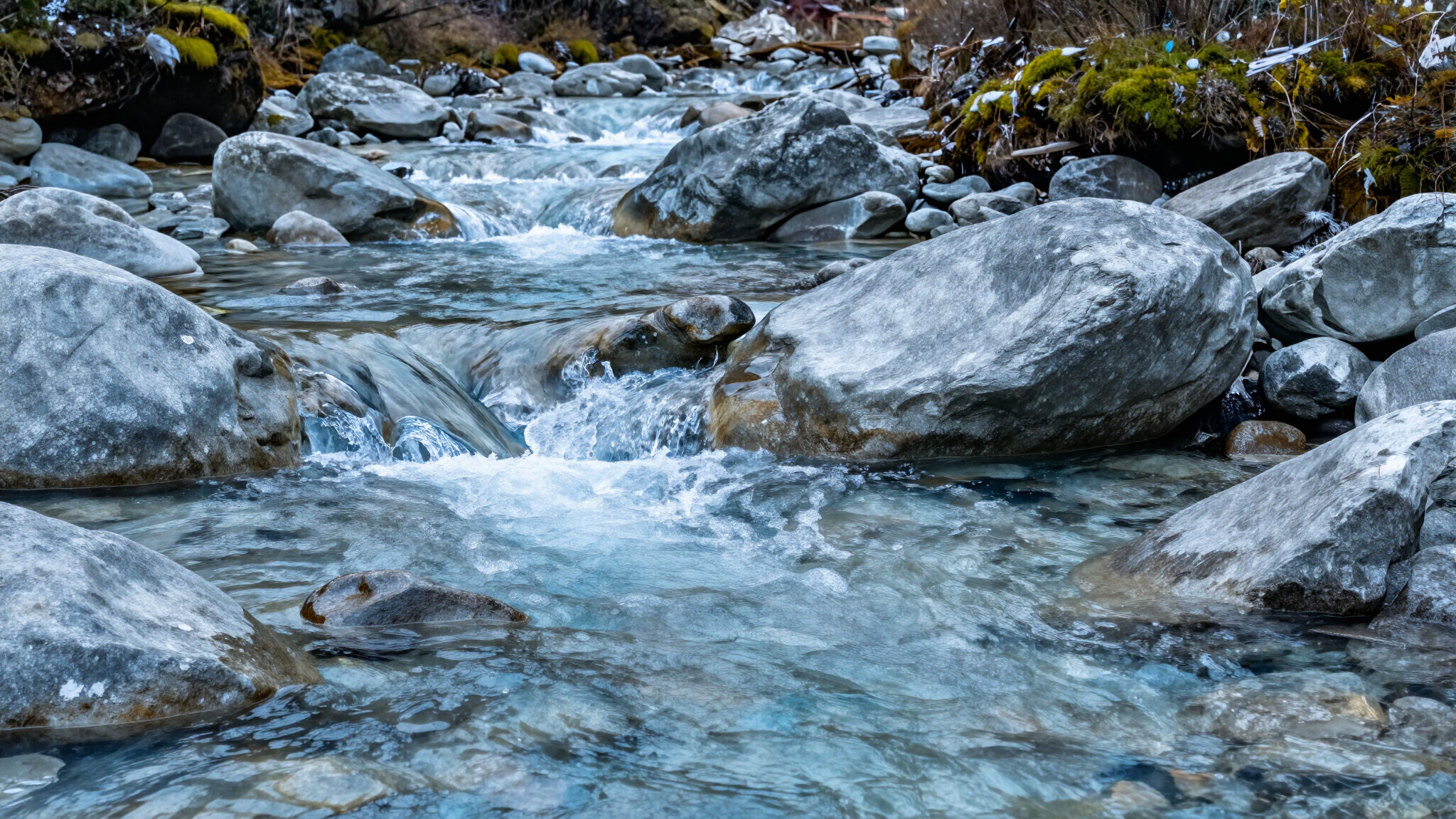
Gasa’s 2018 district report describes glacial lakes beneath Himalayan peaks feeding major river systems, including the Pho Chhu and Mo Chhu. Downstream, these rivers join the wider Sankosh system. Following this movement from high mountains towards lower valleys helps explain how connected the landscape is. A mountain catchment, a stream and a valley belong to a larger geographical story, rather than separate postcard views.
A protected mountain environment
Jigme Dorji National Park is part of this regional setting. The Bhutan Biodiversity Portal records its origins as a wildlife sanctuary in 1974 and its upgrade to a national park in 1993. The portal identifies the headwaters of the Pa Chhu, Wang Chhu, Pho Chhu and Mo Chhu within the park. It also describes varied vegetation and climates supporting a range of wildlife. The significance of this landscape extends beyond its visual beauty.
Reading a source story carefully
NORBU’s brand materials identify Soechu Spring in Gasa, Bhutan, as the beginning of its source story. Understanding the surrounding district gives that name a clearer geographical context. Regional river and conservation information describes the wider landscape; it does not, by itself, describe the composition of an individual bottled water. Product specifications and quality documentation remain the right sources for those details. Geography gives us a place to begin, and reliable product information completes the picture.
Sources
Gasa District Administration — Annual Report 2018